
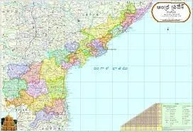
Andhra Pradesh Political Map (70x100cm)
Description
A political map of Andhra Pradesh in the 70×100 cm format is available as a large-format laminated wall chart from several educational supply manufacturers and distributors in India. These maps typically feature the following specifications:
Product Specifications
Size: 70×100 cm, suitable for classroom or wall display.
Material: Laminated paper, usually multicolour print for clarity and durability.
Features:
Latest district boundaries
State and district capitals
Important towns and cities
Certified by Survey of India for high accuracy
Printed in the English language.
Fitted with top and bottom rollers for easy hanging.
Hot-seal polyester film lamination on both sides.
Availability and Ordering
Such maps can be ordered individually from educational suppliers like Vidya Chitr Prakashan and N. C. Kansil & Sons, among others.
The price typically ranges from ₹150–₹180 per piece depending on vendor and customization.
PDF and high-resolution image formats (JPG, PNG) are also available for download from online map resources for additional printing needs.
Download and Print Options
You can directly download digital files (PDF, JPG, PNG, WEBP) for Andhra Pradesh political maps from sites like MapInside.in for your own printing at large sizes.
These downloadable maps offer high pixel resolutions suitable for 70×100 cm output.
Specifications
| Model No. | N-C329 |
|---|


