
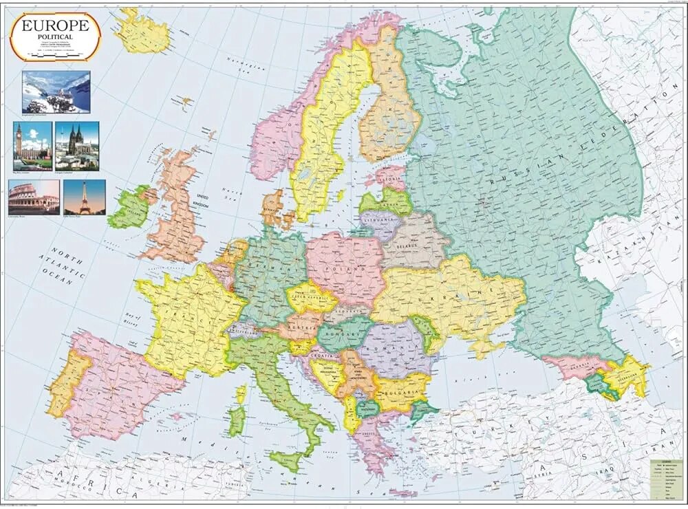
Europe Political Map (100x70cm)
Description
The “Europe Political Map (100x70cm)” is a large-format educational wall map showing the political boundaries, countries, and capitals across Europe, suitable for classroom or laboratory display at 100×70 cm.
Map Content Overview
Title: Europe Political Map
Size: 100×70 cm (enables clear depiction of all countries)
Key Map Features:
Distinct colors for each country, with clearly drawn national boundaries
All country names and capitals (London, Paris, Rome, Berlin, Madrid, Vienna, etc.) labeled visibly
Major cities and regional divisions (where space allows)
Neighboring seas and oceans (Atlantic, Baltic, Mediterranean, Black Sea, North Sea) labeled for reference
Notation of disputed territories or semi-autonomous regions if relevant
Regional insets (Scandinavia, Balkans, Western/Eastern Europe) possible for extra clarity
Scale bar, legend, and compass rose for orientation
Educational Use
Utilized in geography, history, and social studies classes to teach about European countries, capitals, and boundary relationships.
Designed for maximum legibility and classroom utility, with color coding and large print.
For print:
Use high-resolution or vector format for sharp boundaries and readable text at large scale
Include legend for boundary color codes and symbols
If additional customization (language overlays, emphasis on regional divisions, or lamination details) is needed, this can be provided on request.
Specifications
| Model No. | N-C130 |
|---|


