Mountain Building (50x70cm)
Description
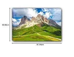
The “Mountain Building (50x70cm)” chart is an educational wall poster illustrating the geological processes and types of mountains, suitable for classroom and academic environments.
Description
Size: 50 × 70 cm.
Material: Printed in multicolor on durable paper, often laminated for long-term classroom use.
Content Features:
Diagrammatic representation of major mountain-building processes (orogeny), including plate tectonics, folding, faulting, and volcanic activity.
Visual explanation of mountain types: fold mountains (formed by colliding plates), fault-block mountains (uplifted by faulting), volcanic mountains, dome mountains (upward movement of magma without eruption), and erosion-resistant mountains.
May include examples of famous mountain ranges, such as the Himalayas, Alps, and Andes, as well as illustrations showing subduction, uplift, and volcanic processes.
Typically features arrows, labels, and color coding to clarify the different forces and layers involved in mountain formation.
Educational Value
Explains how the Earth's crust and tectonic plate movement result in the formation of mountains, making complex geological processes accessible to learners.
Useful for lessons in earth science, geology, geography, and environmental studies, helping students understand natural landform development and change.
This chart is highly effective for visual learners and teachers who wish to illustrate the fundamental concepts of mountain building in a clear, concise manner.
Specifications
| Model No. | N-C173 |
|---|